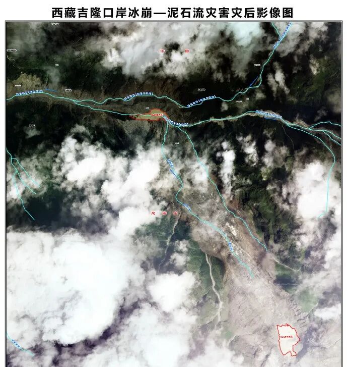
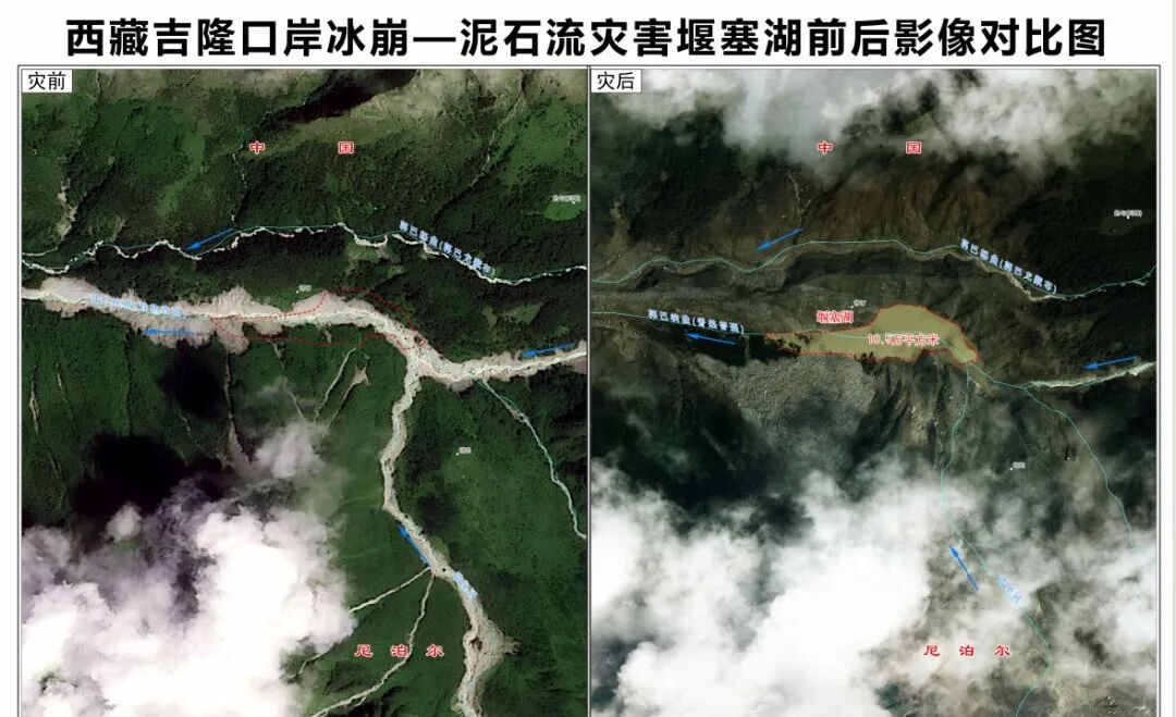
受泥石流灾害影响,吉隆口岸地貌发生明显改变。为便于了解受灾情况,西藏日报特从“天空视角”整理制作灾前、灾后对比影像,可以直观看到灾害给当地带来的巨大破坏,也更能理解当前抢险搜救面临的极大难度。
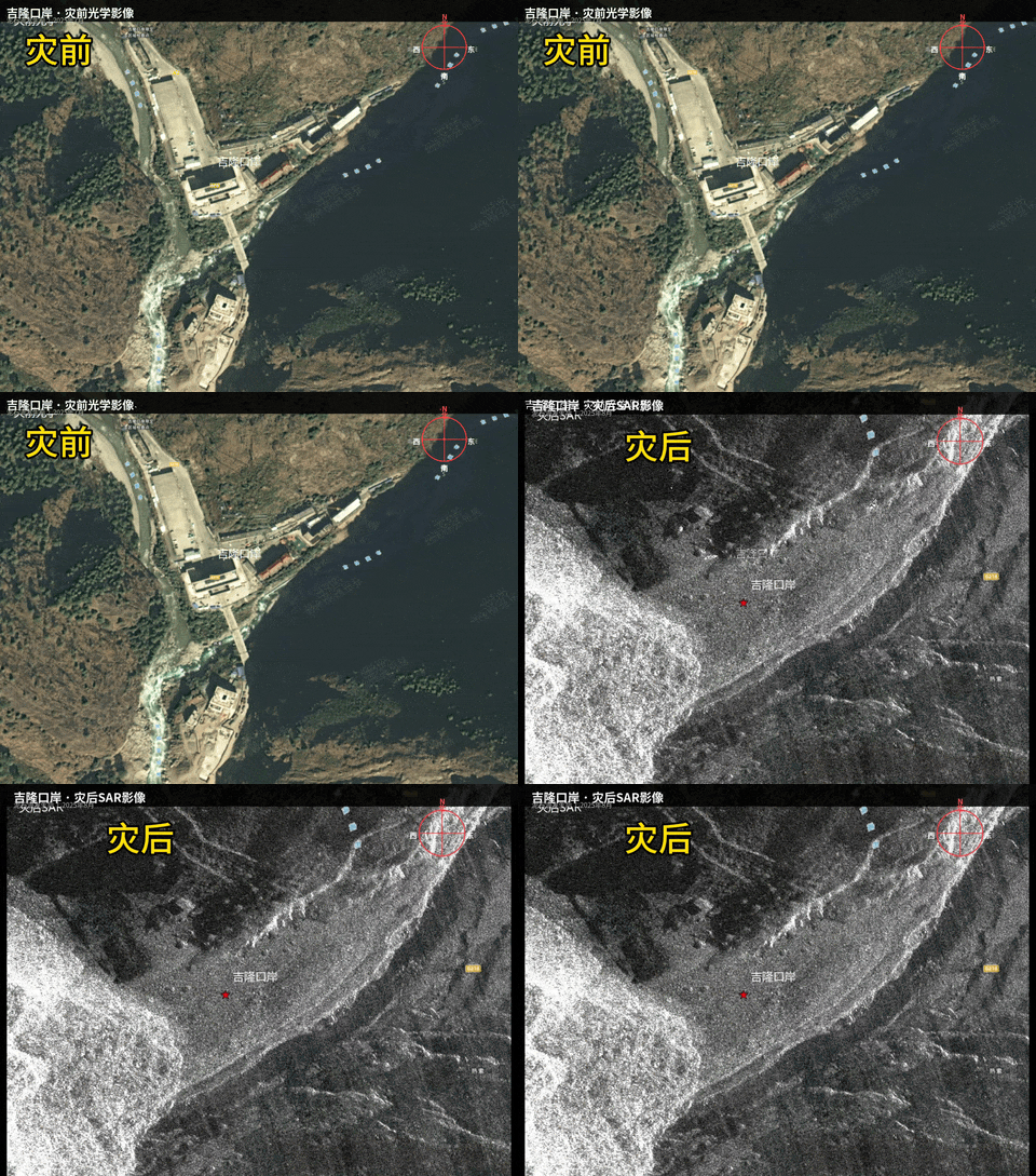

 图为卫星航拍视角对比图。
 图为航拍视角对比图。
今天,自然资源部公布了西藏吉隆泥石流灾害三维影像图,展示了灾前灾后的影像对比。

监制:储国强
记者:李梅英
主编:玉珍 刘枫
部分素材整理自网络
责任编辑:罗宗
受泥石流灾害影响,吉隆口岸地貌发生明显改变。为便于了解受灾情况,西藏日报特从“天空视角”整理制作灾前、灾后对比影像,可以直观看到灾害给当地带来的巨大破坏,也更能理解当前抢险搜救面临的极大难度。
图为卫星航拍视角对比图。图为航拍视角对比图。今天,自然资源部公布了西藏吉隆泥石流灾害三维影像图,展示了灾前灾后的影像对比。
监制:储国强
记者:李梅英
主编:玉珍 刘枫
部分素材整理自网络
责任编辑:罗宗
Disclaimer: Investing carries risk. This is not financial advice. The above content should not be regarded as an offer, recommendation, or solicitation on acquiring or disposing of any financial products, any associated discussions, comments, or posts by author or other users should not be considered as such either. It is solely for general information purpose only, which does not consider your own investment objectives, financial situations or needs. TTM assumes no responsibility or warranty for the accuracy and completeness of the information, investors should do their own research and may seek professional advice before investing.